
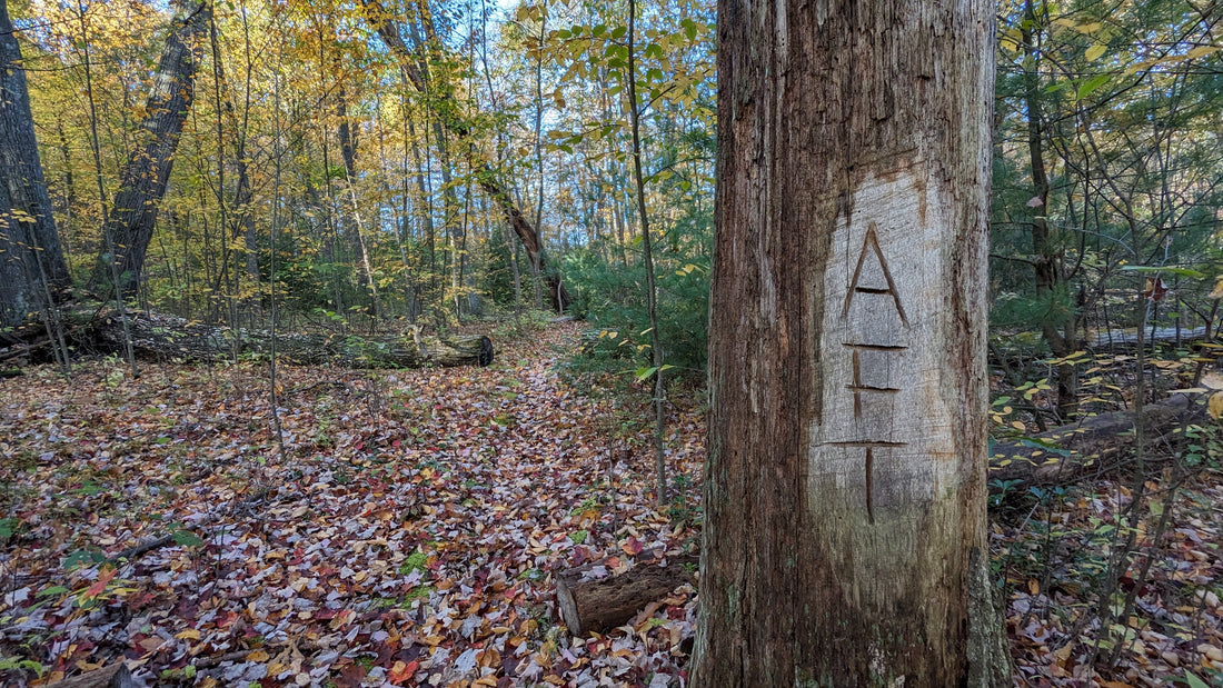
The Allegheny Front Trail is a 41.5 mile loop located in Central Pennsylvania near the town of Snow Shoe. The majority of the trail is in the Moshannon State Forest with about 4 miles of the southern section passing through Black Moshannon State Park. This is important to keep in mind because primitive camping is not allowed within the state park, so plan accordingly.
The Basics
- Map: Allegheny Front Trail (DCNR Official)
- GPS:
- Trailhead: 40.917010, -77.976976 (Google Maps)
- Trip Data (Garmin): AFT -2023
- GPX File: AFT_CCW_23.zip
- Videos: Allegheny Front Trail 2023 - Playlist
- Notes:
- Difficulty is not as hard as official sources make it out to be.
- Trail is well maintained.
- Excellent camping opportunities.
- Guidebook is recommended for camping and water quality.

Trailhead parking can be found near Tram Rd along PA Route 504 (Rattlesnake Pike) approximately 7 miles west of RT 220 in Unionville and can accommodate about 10 cars. This lot is right on the side of the road so be careful entering and exiting. This is the delineation between the northern and southern sections and the trail crosses Rt 504 at the lot. At the time of my thru hike (October 2023) the kiosk had a fresh stock of, very large trail maps. As with any hike, I suggest grabbing one of these maps, even if you have a digital map on your phone. I'll talk more about the map in a bit.
Which Way to Go?
Since this trail is a loop you can go either clockwise or counter clockwise and wind up back at your car in 41.5 miles. So, which is the best direction to go? That really depends on what you are looking to get out of the trail. The most common direction is clockwise, it seems like that is the intended direction of travel and the guide book I used was written for travelers following that route. This gives you a few advantages I suppose. First, you immediately get all the views off of the Allegheny Front, the prominent uprising of the Allegheny Plateau that the trail is named for. Second, because this is the most common direction, the available campsite spacing is pretty good. Third, your last stretch heading back to the car will be fairly easy.
But what if you go counter clockwise like I did? To be honest, that wasn't my plan. I originally planned on doing this trip the way the guidebook suggested. I had my campsites planned out and everything. But then I got to the trailhead after the two and half hour drive I had to get there, I for some reason thought that heading straight out of the lot was the correct direction. It wasn't until I got about 1.5 miles in that I realized I wasn't seeing any vistas yet and checked my map to discover I was headed counter clockwise. At that point I didn't want to add miles to the trip by back tracking so I consulted the guidebook, re-planned my camps for the two nights I'd be out there and carried on. What this mistake did though was give me, what I believe, is the best experience on the AFT. I had a fairly easy day 1 with a few small climbs and some beautiful forests and creeks to enjoy. However, finding a suitable campsite at my desired distance of around 14 miles was tougher. With a little more daylight 15-16 miles would make for a better CCW camp. The best benefit of heading against the grain is that those vistas along the Allegheny Front become your reward for completing the trail. Sure there's A LOT more climbing in the last 4 miles in this direction but I think I enjoyed that last day more as a last day than I would have as my first day.
Guidebook?
Yes. I won't get into a review of the book but if you can get your hands on one I highly recommend it. The book in question is the Guide to the Allegheny Front Trail by Ben Cramer. I have used a few guidebooks written by Mr. Cramer and they are very well put together. His mileage is always spot on and if anything he gives too much information about the trail. He gives water source quality, campsites, mileage, points of interest and history on the area. Also, you get a very good trail map that is not the same one you get at the trailhead.
Difference in the Maps
The map you get at the trailhead is the official map provided by the Pennsylvania Department of Conservation and Natural Resources (PA DCNR). As I stated earlier I did this trip in October of 2023. I downloaded a map from the DCNR for the trail, which should be the most up to date AND I grabbed a paper map at the trailhead. Both the digital map and paper map are from 2013... they're 10 year old maps. A lot can change on a trail in 10 years. To be fair Ben Cramer's map is from 2015, but he's not the official keeper of the trail either.
This trail has not changed much since it's inception aside from a few of the marked vistas on the north side being pretty grown over and 1 or two very small reroutes that are easy to notice and don't change the mileage at all. For about 95% of the trail the two maps show basically the same route. However, the trail crossing the vistas along the front, the main vistas is very incorrect on the official DCNR map. Again this doesn't change the mileage and if you are only using the maps for point to point reference you might not even notice. If you are like me though and use the map to determine elevation changes to gauge your speed and distance then incorrect mapping can cause a problem. Ben Cramer's map shows the correct path the trail takes, including a 3/4 to 1 mile section that adds a lot of elevation change and a switch back to a vista that is on a different outcropping than the official map shows.
Difficulty
Officially it is recommended that 5-6 days are needed to complete this trail. You could very well do that and spend time just enjoying the heck out of the beauty of the area. I did this hike in 3 days in the fall with shorter daylight hours, and I took my time. I can best describe this trail like this: It's 10 miles of rockiness and 32 miles of cruise. The 4 mile section along the vistas just south of the trailhead and the 6-ish miles between Six Mile Run and the northern turn along the Moshannon Creek are the rockiest and slowest sections. Other than that the trail is pretty smooth and some of the climbs are steep but short. I spent most of my time looking at my surroundings and not watching my footing, a nice change in Pennsylvania and on my last day I spend a lot of it averaging better than 3MPH... and I wasn't trying to rush. I still had time to take it all in. Of course, everyone's experience level and style of hiking will vary so hike your own hike. Just know it's not as scary as the 5-6 day average the official recommendation states.
Wildlife
What can you expect to encounter while on the AFT? I personally heard coyotes, fox, barred owls, porcupines, hawks, ruffed grouse and I think tree frogs. I saw plenty of birds, squirrels, chipmunks, toads, deer and a coyote and saw evidence of porcupines and black bear. It is possible to come across snakes, including rattlesnakes in the area so keep your eyes (and ears) alert. While camping it is good practice to keep your food out of camp and away from the reach of critters either by hanging your food 15 to 20 feet off the ground and 10 to 15 feet away from a tree trunk and hanging your food at least 200 feet from where you are camped. Otherwise use a bear canister and wedge it under a rock or downed tree outside of camp.
Miscellaneous
A few things to keep in mind.
- There are no shelters on this trail.
- Primitive camping is not allowed within the Black Moshannon State Park.
- There are no towns you will pass through for resupply so take everything you need.
- The Moshannon Creek, nicknamed Red Mo is highly polluted and should not be used as a water source even if you are treating, filtering and/or boiling your water. There are small feeder creeks along the Moshannon Creek you can safely get water from.
- The Black Moshannon Creek is safe to get water from. It is a separate creek.
- You will cross several main, paved roads. Use caution.
- Wolf Rocks may have porcupines hiding in the crevasses, don't stick your hands in there.